

01
High-End Residential
Property, acreage, amenities, surroundings, and approach.
FAA Part 107 Certified Remote Pilot
Aerial photography, cinematic video, and infrastructure inspection for Texas properties and projects—planned to spec, captured safely, and delivered ready to use.
Aerial data you can act on.
Every flight is planned with intent, flown to specification, and delivered as something you can use to market a property, inspect critical assets, document progress, or make a better decision.
From a single listing to repeatable site documentation, each flight is scoped around the information you need.
Property, acreage, amenities, surroundings, and approach.

Buildings, developments, industrial sites, access, and context.

Repeatable views of site conditions, milestones, and completed work.

Close-range visual capture of components and areas of concern.

Organized coverage of panels, arrays, placement, and visible defects.

Herd counts and location checks across large or difficult ranch land.

Rapid-deployment aerial search support to cover terrain quickly when time and visibility matter.
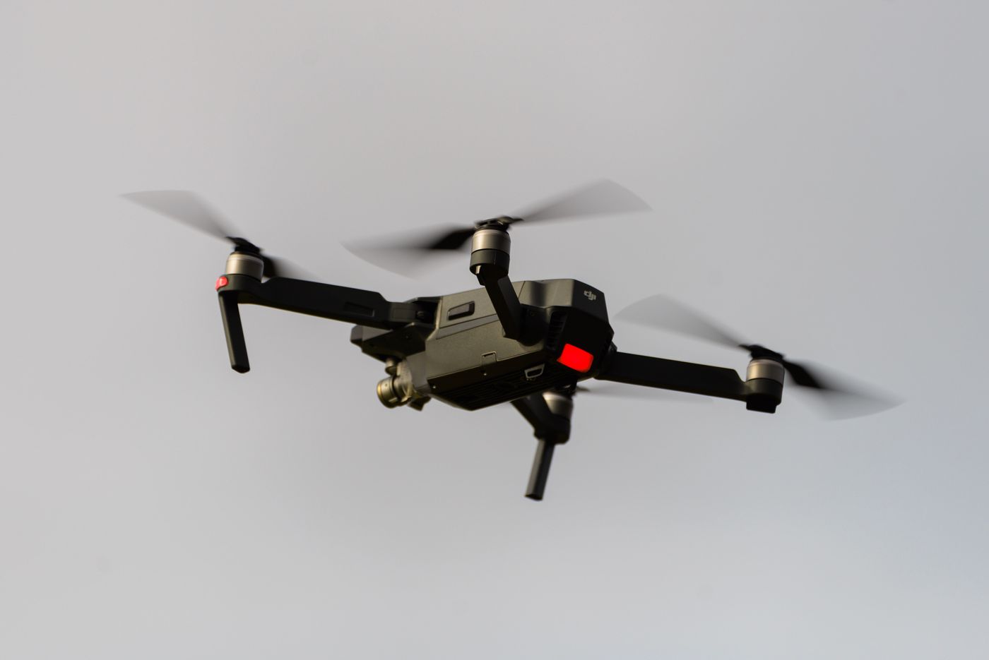
Have a use case that does not fit a standard category? We will evaluate the site, objective, and deliverable.
The same disciplined sequence for every job—so you know what to expect before the drone leaves the case.
We define what you need to see, why you need it, the location, and the final deliverable.
Airspace, weather, site access, safety requirements, and the shot plan are checked before launch.
We fly the approved scope on site and capture the required stills, video, or inspection passes.
You receive edited imagery, footage, or an inspection report on the agreed timeline.
04 Book a flight
Tell us what you need captured. Submitting this form sends your project request directly to Covert Aerial Group.